|
| *****SWAAG_ID***** | 482 |
| Date Entered | 27/03/2012 |
| Updated on | 05/04/2012 |
| Recorded by | Stephen Eastmead |
| Category | Photographic Record |
| Record Type | General HER |
| Site Access | Public Footpath |
| Record Date | 26/03/2012 |
| Location | Fremington Edge Kame Terrace |
| Civil Parish | Reeth |
| Brit. National Grid | NZ 036 012 |
| Altitude | 370 to 410m approx |
| Geology | A Kame terrace is a valley-side terrace formed by the deposition of fluvial or lake sediment along the valley margin of a glacier. The terrace is left stranded on the hillside after the glacier has receded. |
| Record Name | Fremington Edge Upper Kame Terrace - Pictorial Study |
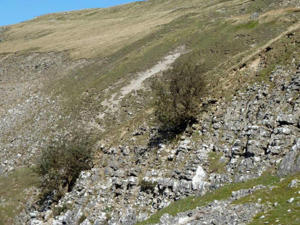
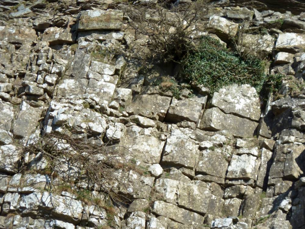
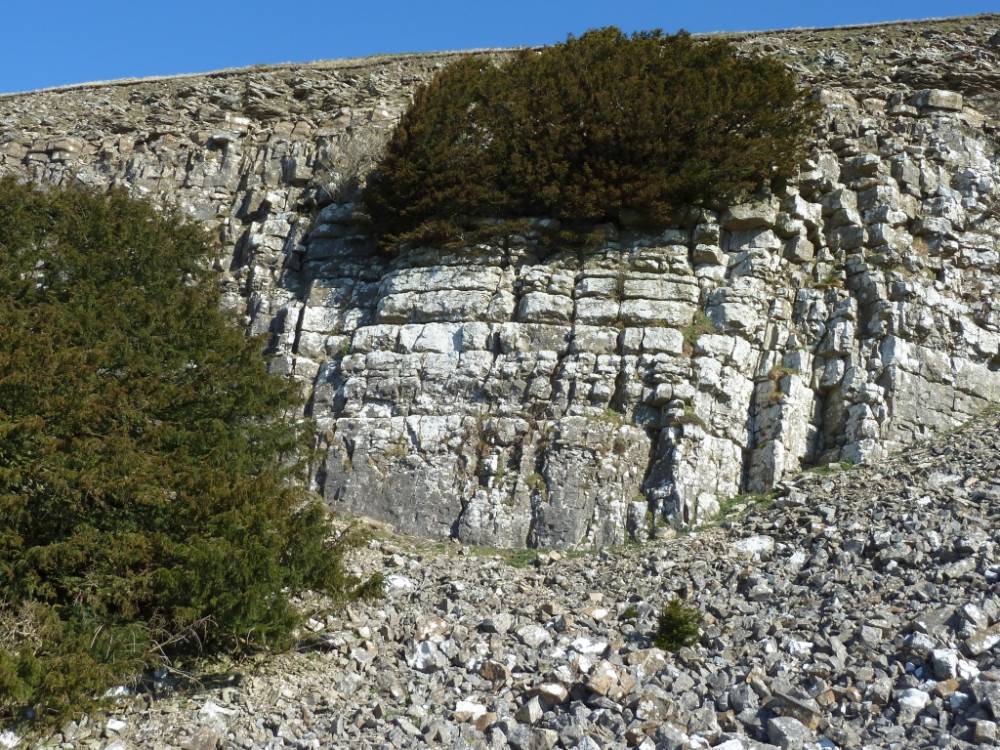
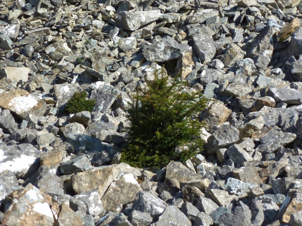
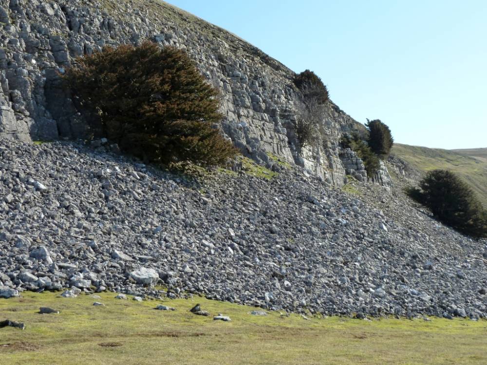
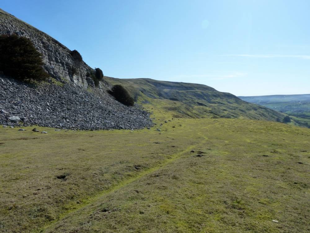
| Record Description | The photographic record covers the upper Kame terrace below Fremington Edge, from a point just west of White house Reeth, to its termination at Fell End a distance of approximately 3km. |
| Image 1 ID | 2451 Click image to enlarge |
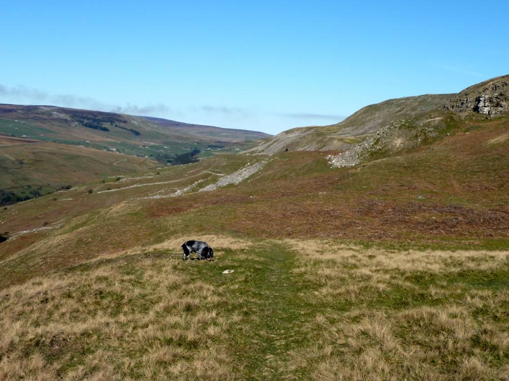
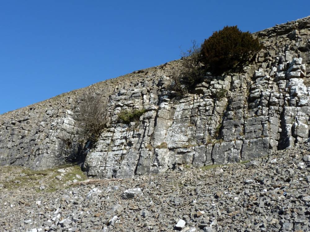
| Image 1 Description | The Kame terrace gradually becomes apparent as you walk west fron above the White House Reeth. |  |
| Image 2 ID | 2452 Click image to enlarge |
| Image 2 Description | |  |
| Image 3 ID | 2453 Click image to enlarge |
| Image 3 Description | |  |
| Image 4 ID | 2454 Click image to enlarge |
| Image 4 Description | | 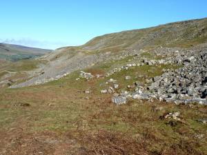 |
| Image 5 ID | 2455 Click image to enlarge |
| Image 5 Description | |  |
| Image 6 ID | 2456 Click image to enlarge |
| Image 6 Description | An Enclosure Act drystone walls divides the Kame terrace up into several sections. | 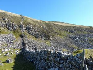 |
| Image 7 ID | 2457 Click image to enlarge |
| Image 7 Description | |  |
| Image 8 ID | 2458 Click image to enlarge |
| Image 8 Description | | 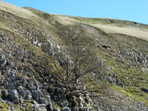 |
| Image 9 ID | 2459 Click image to enlarge |
| Image 9 Description | | 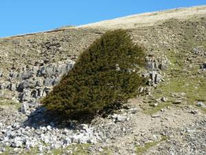 |
| Image 10 ID | 2460 Click image to enlarge |
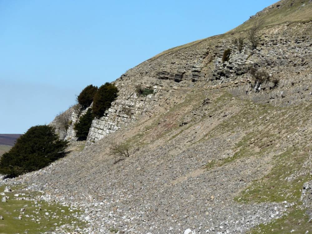
| Image 10 Description | Fell End. Yews on the cliff formed by the Main Limestone and by overlying chert strata. The largest yew is that which grows on the limestone scree. This tree is female with a rich crop of red fleshed berries each october which are the target for flocks of fieldfares and mistle thrushes. Most if not all yews on and below the high limestone cliffs of Swaledale are multi-stemmed. Those growing on scree may consist of up to a dozen substantial stems (or trunks) which rise from a single rootstock which is usually hidden below the scree. Yews on the face of the cliff are also multi stemmed and stunted. Those on the top edge of the cliff grow extremely slowly, 15 annual rings per mm have been recorded. These cliff edge yews (and junipers) are among the oldest trees on earth.
See also the Woodland Trust Ancient Tree Hunt Website for details of individual trees in Swaledale. |  |
| Image 11 ID | 2461 Click image to enlarge |
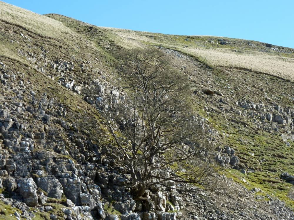
| Image 11 Description | Fell End. Ancient Rowan on cliff edge. The visible trunks and branches of this tree can be described as ancient on grounds of the estimated girth of around 3.0m, its overall appearance and the presence of dead wood, however strictly speaking the visible rowan tree may not live for many decades, perhaps one or two centuries. The rootstock is however truly ancient and will continue to live and to throw up new young shoots to replace the visible tree.
Close examination of ancient cliff rowans such as this usually reveal a fresh young rowan shoots which will survive and replace the existing tree when all trace of its existence has disappeared.
Question!
Bearing in mind that the very large rootstock of rowans on cliffs now exposed, originally penetrated far within the rock as a threadlike root seeking moisture, to grow and expand and in time to completely destabilise the cliff, much of which has now disaappeared. How old is this tree? | 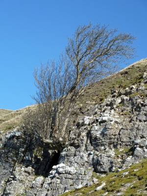 |
| Image 12 ID | 2462 Click image to enlarge |
| Image 12 Description | | 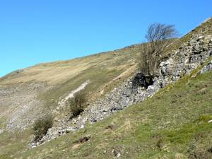 |
| Image 13 ID | 2463 Click image to enlarge |
| Image 13 Description | | 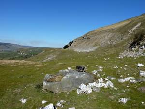 |
| Image 14 ID | 2464 Click image to enlarge |
| Image 14 Description | | 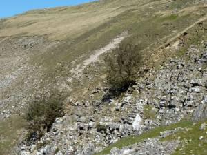 |
| Image 15 ID | 2465 Click image to enlarge |
| Image 15 Description | |  |
| Image 16 ID | 2466 Click image to enlarge |
| Image 16 Description | | 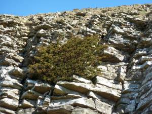 |
| Image 17 ID | 2467 Click image to enlarge |
| Image 17 Description | | 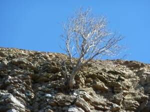 |
| Image 18 ID | 2468 Click image to enlarge |
| Image 18 Description | |  |
| Image 19 ID | 2469 Click image to enlarge |
| Image 19 Description | | 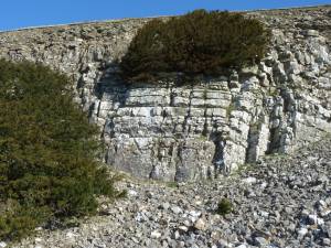 |
| Image 20 ID | 2470 Click image to enlarge |
| Image 20 Description | |  |
| Image 21 ID | 2471 Click image to enlarge |
| Image 21 Description | | 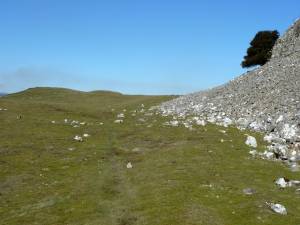 |
| Image 22 ID | 2472 Click image to enlarge |
| Image 22 Description | | 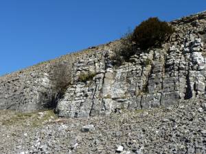 |
| Image 23 ID | 2473 Click image to enlarge |
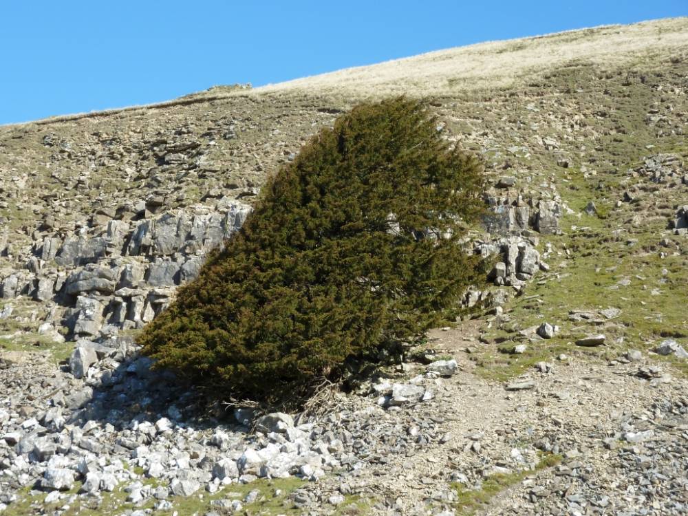
| Image 23 Description | Fell End. Relict woodland vegetation with yews and a solitary juniper on cliff and scree of the Main Limestone. For details of this relict vegetation, see SWAAG Record No 181. | 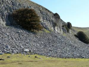 |
| Image 24 ID | 2474 Click image to enlarge |
| Image 24 Description | | 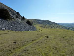 |
| Image 25 ID | 2475 Click image to enlarge |
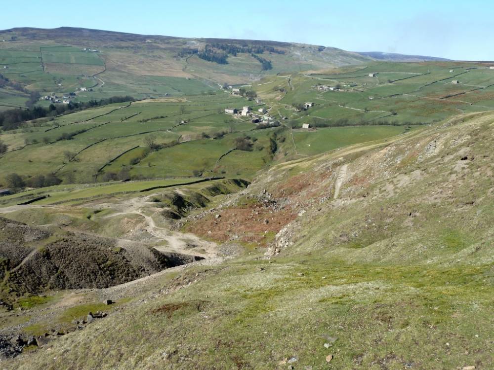
| Image 25 Description | The Kame Terrace ends at Fell End Lead mines |  |
| Image 26 ID | 2476 Click image to enlarge |
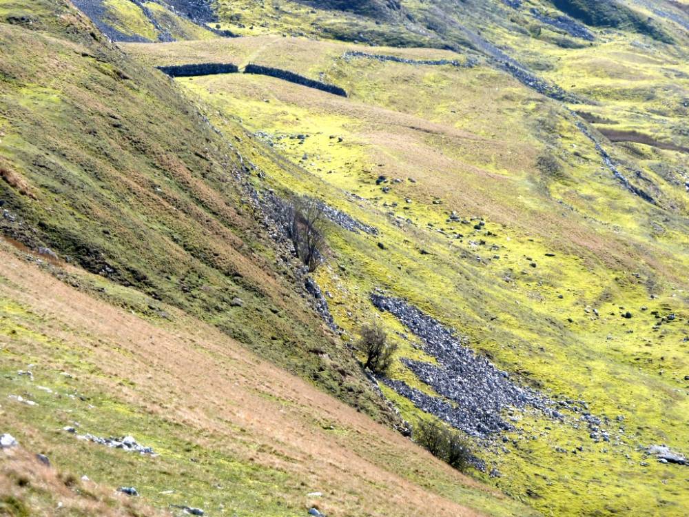
| Image 26 Description | The Fell End lead vein extends across Sleigill and under Booze | 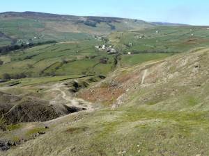 |
| Image 27 ID | 2477 Click image to enlarge |
| Image 27 Description | The western end of the Kame terrace seen from above on Fremington Edge. |  |